Geospatial Information Systems: The Way Forward for Governments
Add bookmark
From the forests to our waterways, geospatial intelligence is the one area of information gathering that is deployed in virtually every government department, from the county to the federal level.
The digitalization of Geospatial Information Systems (GIS) has led to a shift in emphasis on not how we collate the data, but how we use it.
Related: Data Center Consolidation: Meeting Deadlines and Creating Opportunities
As agencies across the board face budget tightening, the effective use of GIS is helping to reduce duplication of effort among agencies, improve quality and reduce costs related to geographic information.
The challenges of funding and interoperability will be addressed at IDGA’s GIS for Government summit in June.
Broadly defined, Geospatial Information Systems are computing platforms that make geospatial information and services accessible for a range of applications.
It is a system designed to capture, store, manipulate, analyze, manage, and present all types of geographical data. It is focused on understanding geographic locations on earth using many tools, ranging from 2D imagery such as satellite and aerial to 3D mapping with the use of locating services.
[inlinead]
The acquisition and application of GIS in government is an ever-growing and ongoing initiative. The market for GIS is rapidly expanding as governments seekto standardize systems and improve interoperability.
Jeff Peters, the Director of National Government Sales at GIS market leaders Esri, said: "Changes in the technology infrastructure have played a major role in the advancement of GIS technology during the past decade. These changes are bringing entirely new groups of people to GIS, and encouraging the existing GIS community to think in new and different ways.
"In turn, we are seeing GIS driving changes in the underlying technology infrastructure requirements. In the military and intel communities this includes cloud infrastructure and the ability to spatially understand content through maps and 3D visualizations. Data visualization also includes performing rich and meaningful spatial analytics. We have also seen lots of breakthroughs occur in the area of mapping, particularly with the consumer mapping user interfaces that are now popular on the web, in hybrid clouds, and completely air-gapped systems."
The Department of Homeland Security was originally the lead agency in this field, but in September 2012 responsibility was shifted to the National Information Sharing Consortium (NISC). The chief area of focus has been to weave together local to federal level geospatial information for the purpose of disaster response and emergency management.
The benefits apply to good risk management, agriculture, water supply, homeland security, renewable energy and, among others, aviation safety.
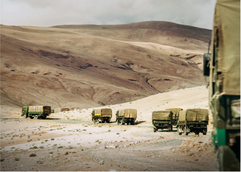
The requirement in the military for intelligence information is now at an all time high. Manned and unmanned military platforms have spiked both in number and in overall capability, each acting as individual data sponges on every mission and helping to piece together the wider battlefield picture.
The objective across most forces is to now have at their disposal full motion video awareness at any time of the day, achieving this visualization by inter-changing between electro-optical feed when the sun is up and infrared feed when it’s not.
Enabling commanders to simply dismiss the fog of war in this way is of huge benefit, allowing forces to engage on its own terms, saving time and cost. This is all the more true in irregular scenarios in which pockets of adversaries aim to fight their battles from covert hiding holes, and where the adversary itself is not always visually identifiable amid civilian populations without the use of high resolution airborne cameras.
Mr. Peters said: "GIS technology today can offer a type of ‘consumer experience’ for professional deployments, providing the simple ability to visualize data, whether it is in a spreadsheet or observational. This is why geospatial technology is even more compelling among the military and intel communities because of its ability to integrate and analyze, through overlay analysis, multiple layers of information originating from many sources.
"End users gain insights and illustrated key patterns and relationships between and various geospatially referenced phenomena. We are going to see more advances, such as spatial auto-correlation, time/space statistical analysis, map overlay and modeling work, and deriving the formulas of relationship based on patterns of space and time. All of these things are still just emerging in the analyst’s world."
One of the fastest growing areas of GIS is the increasing use of LIDAR technology (light detection and ranging). A standard LIDAR system emits a beam of light from a laser source and then captures the returned light in sensors as it bounces back from a reflecting object, measuring the distance by calculating the time required for the round trip.
LIDAR systems were used by the federal government as early as the 1960s — mainly for atmospheric studies — but it wasn't until after 2000 that a range of factors resulted in a boom of LIDAR data-gathering projects that are now being used at federal, state and local government levels.
U.S. troops have used LIDAR to map difficult terrain in Afghanistan and a Colorado State University scientist used it in creating the first forest height map to measure carbon cycles in ecosystems. More and more agencies are turning to LIDAR as the technology has become less expensive and more accurate, and, because surveys are generally done from aircraft, vast amounts of territory can be covered quickly.
"There are so many areas where GIS is growing, such as Location Analytics which involves the embedding of GIS into enterprise systems (BI, ERP, CRM, etc.)," Mr. Peters said.
"Location Analytics brings significant mission value by integrating maps and GIS analysis into mainstream business systems. GIS is also growing in the cloud. A cloud GIS platform encompasses many different computing environments and brings relatively seamless back- and front-office application of GIS. These new Cloud patterns enhance the value of GIS professionals and empowers others to consume a wealth of spatial content.
"Despite the increasing consumption of mapping technology, we need to remember that spatial analysis is what makes GIS a truly powerful solution and that analysis is what solves REAL problems. People don’t want just ‘dots on maps’ they want them to become ‘smart dots on maps’-- data coupled with analysis that solves problems through understanding.
"Developers are becoming more aware of the importance of geography in their work. Start-ups, early stage companies, established tech companies, contemporary web designers, system integrators, inside customers orgs., and Esri Partners, all make up the new GIS Developer community.
"Finally, Big Data is a major part of the future of GIS. We are excited about how we can support the integration of very large volumes of data including real time types of information analyzed, queried, and visualized to generate intelligence and better understand situations."
Mr. Peters added: "Geo is fundamental to Big Data. Geo-parsing, visualizing, and doing spatial analysis of inline data streams is meaningful and relevant to people whose job title is today to manage big data environments with in-stream processing. It’s definitely an exciting time to be in the GIS space."
Developments in mapping technology and the growth of LIDAR are among several topics that will be covered at IDGA’s GIS For Government event from June 24-26 in the Washington DC metro area. For full details, go to www.GISforGovernment.com